Upper Dolpo Trek (28 Days)
An epic 28-day journey through the remote Upper Dolpo region, exploring high passes, ancient monasteries, and the pristine Phoksundo Lake.
- Day 1: Tribhuvan International Airport → Kathmandu
- Day 2: Kathmandu → Kathmandu
- Day 3: Kathmandu → Nepalgunj
- Day 4: Nepalgunj → Juphal → Dunai
- Day 5: Dunai → Chhepka
- Day 6: Chhepka → Rechi
- Day 7: Rechi → Ringmo/Phoksundo Lake
- Day 8: Ringmo → Ringmo
- Day 9: Ringmo → Lar Tsa
- Day 10: Lar Tsa → Mendok Din
- Day 11: Mendok Din → Shey Gompa
- Day 12: Shey Gompa → Shey Gompa
- Day 13: Shey Gompa → Namgung Gumba
- Day 14: Namgung Gumba → Saldang
- Day 15: Saldang → Khoma
- Day 16: Khoma → Mendo
- Day 17: Mendo → Tinje
- Day 18: Tinje → Chharka La → Chharka
- Day 19: Chharka → Chharka
- Day 20: Chharka → Norbulung
- Day 21: Norbulung → Sangda Pass Base
- Day 22: Sangda Pass Base → Niwar/Sangda La → Lower Sangda
- Day 23: Lower Sangda → Lower Sangda
- Day 24: Lower Sangda → Dhagarjun
- Day 25: Dhagarjun → Jomsom
- Day 26: Jomsom → Pokhara → Kathmandu
- Day 27: Kathmandu → Kathmandu
- Day 28: Kathmandu → Tribhuvan International Airport
Region: Upper Dolpo
Start/End: Kathmandu
Duration: 28 days
Max Altitude: 5360m
Shey Phoksundo National Park Entry
Nepali: 100 NPR
SAARC: 1500 NPR
Foreign: 3000 NPR
Upper Dolpo Restricted Area Permit
Foreign: 500 USD
Covers first 10 days, $50 per additional day
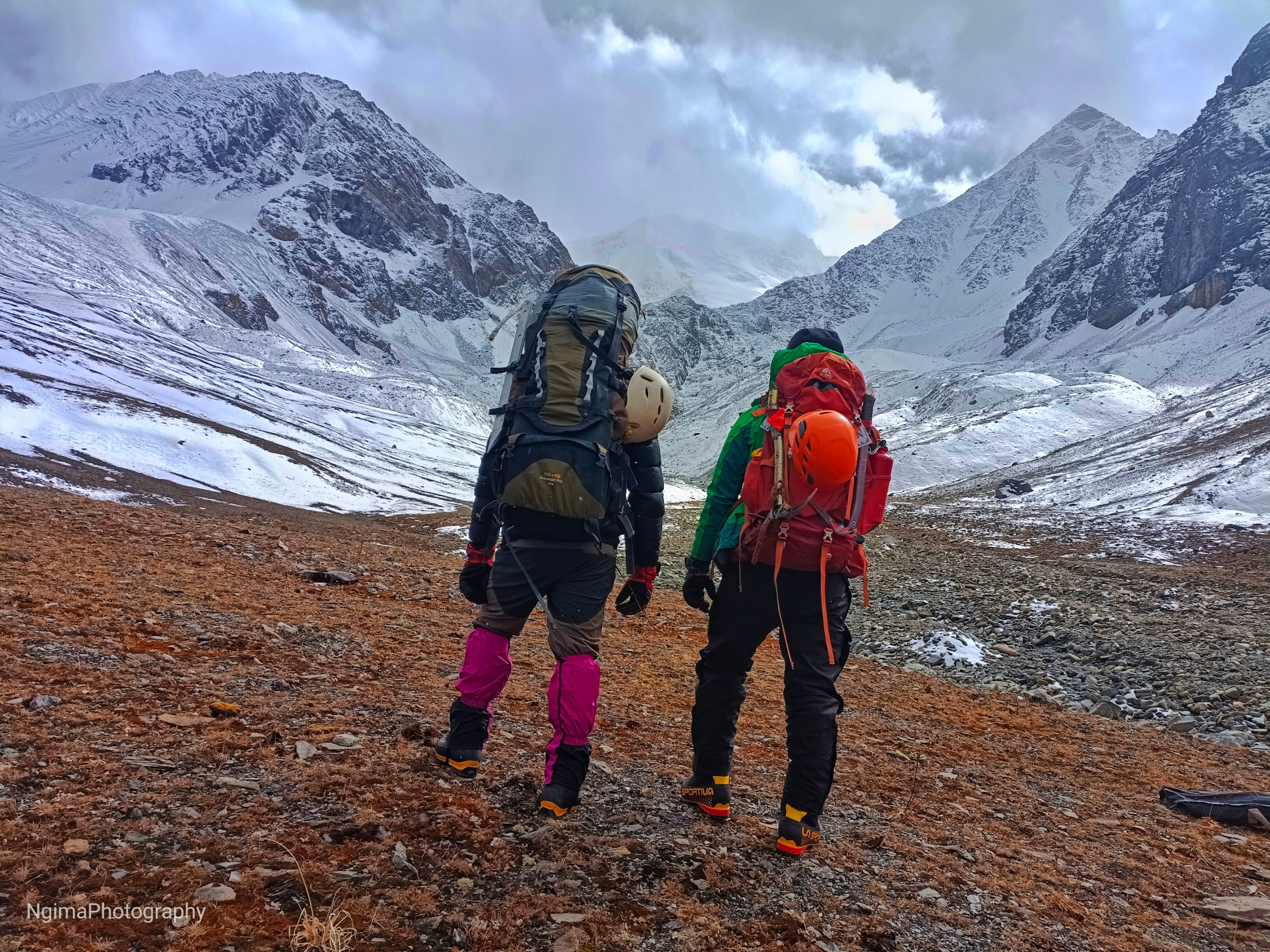
Trek Highlights
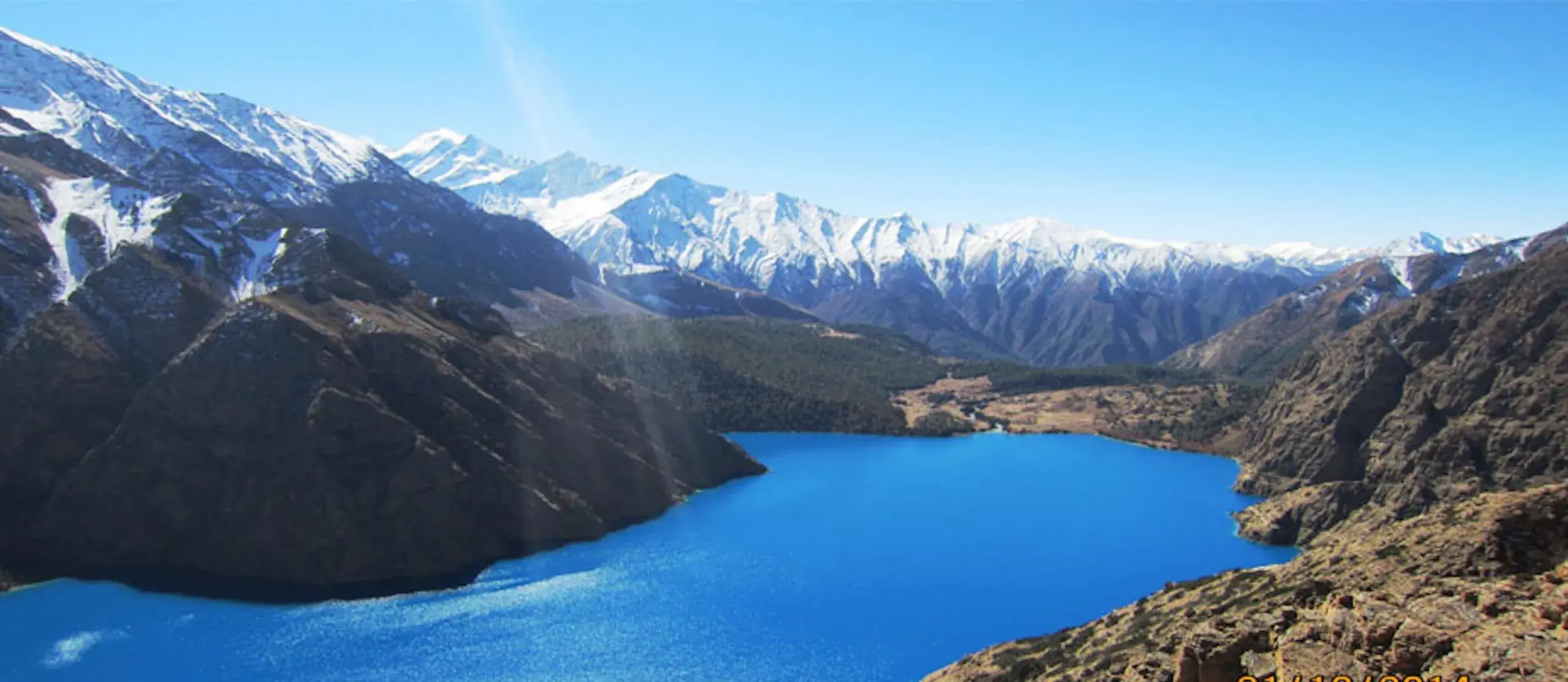
Phoksundo Lake (3,612m) and its 167m waterfall
High passes: Kang La (5,360m), Saldang La (5,200m)
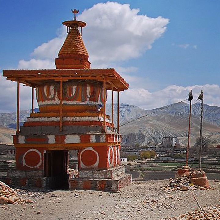
Ancient Shey Gompa monastery
Remote villages of Saldang and Dho Tarap
Unique Bonpo and Tibetan Buddhist culture
Day by Day Itinerary
Detailed breakdown of your trekking adventure
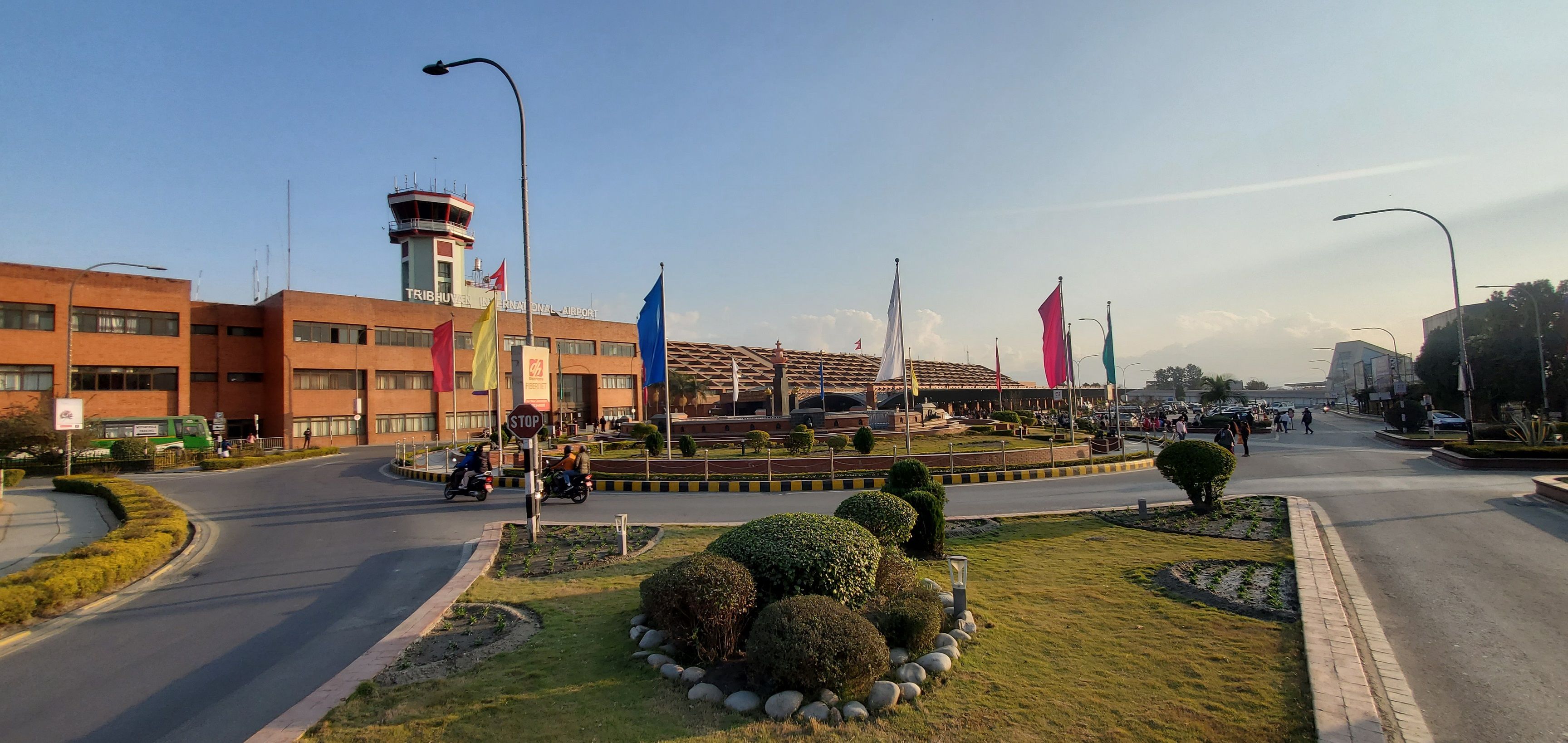
View of Tribhuvan International Airport
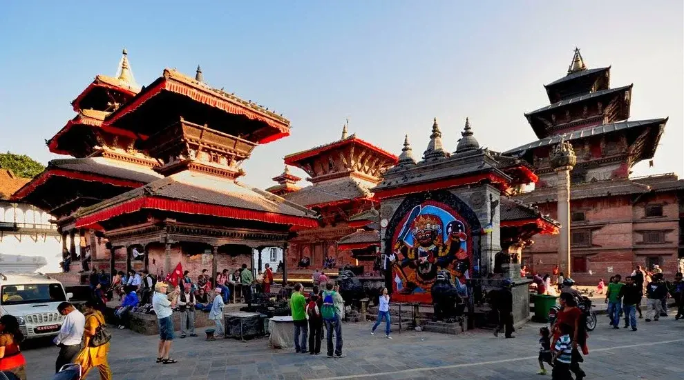
View of Kathmandu
Day 1
Kathmandu Arrival
Arrive in Kathmandu, transfer to hotel, and prepare for the trek.
- Route: Tribhuvan International Airport → Kathmandu
- Altitude: 1350m to 1350m
- Duration: 30 minutes
- Distance: 10 km
Activities:
- Airport pickup and transfer
- Trek briefing
- Permit preparation
Day 2
Sightseeing and Trek Preparation in Kathmandu
Spend the day sightseeing in Kathmandu and finalizing trek preparations.
- Route: Kathmandu → Kathmandu
- Altitude: 1350m to 1350m
- Duration: Full day
- Distance: N/A
Activities:
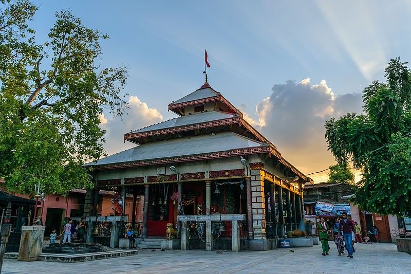
- Explore Kathmandu’s cultural sites
- Visit Pashupatinath and Boudhanath
- Final trek preparations
View of Kathmandu
View of Nepalgunj
Day 3
Kathmandu to Nepalgunj
Flight to Nepalgunj, the gateway to Dolpo, with time to rest.
- Route: Kathmandu → Nepalgunj
- Altitude: 1350m to 150m
- Duration: 1 hour
- Distance: Flight - 45-50 minutes
Activities:
- Morning flight to Nepalgunj
- Rest and final preparations
View of Nepalgunj
View of Juphal
View of Dunai
Day 4
Nepalgunj to Juphal to Dunai
Flight to Juphal followed by a trek to Dunai, starting the journey into Dolpo.
- Route: Nepalgunj → Juphal → Dunai
- Altitude: 150m to 2030m
- Duration: 6-7 hours
- Distance: 11 km trek
Activities:
- Early flight to Juphal (45 minutes)
- Trek to Dunai along Bheri River
View of Dunai
View of Chhepka
Day 5
Dunai to Chhepka
Trek through forests and enter Shey Phoksundo National Park to reach Chepka.
- Route: Dunai → Chhepka
- Altitude: 2030m to 2670m
- Duration: 6-7 hours
- Distance: 15 km
Activities:
- 07:30 AM departure
- Enter Shey Phoksundo National Park
- Trek through forested terrain
View of Chhepka
View of Rechi
Day 6
Chhepka to Rechi
Trek through scenic gorges to Rechi, approaching Phoksundo Lake.
- Route: Chhepka → Rechi
- Altitude: 2670m to 3010m
- Duration: 5-6 hours
- Distance: 14 km
Activities:
- 07:30 AM departure
- Trek through Phoksundo Gorge
- View scenic landscapes
View of Rechi
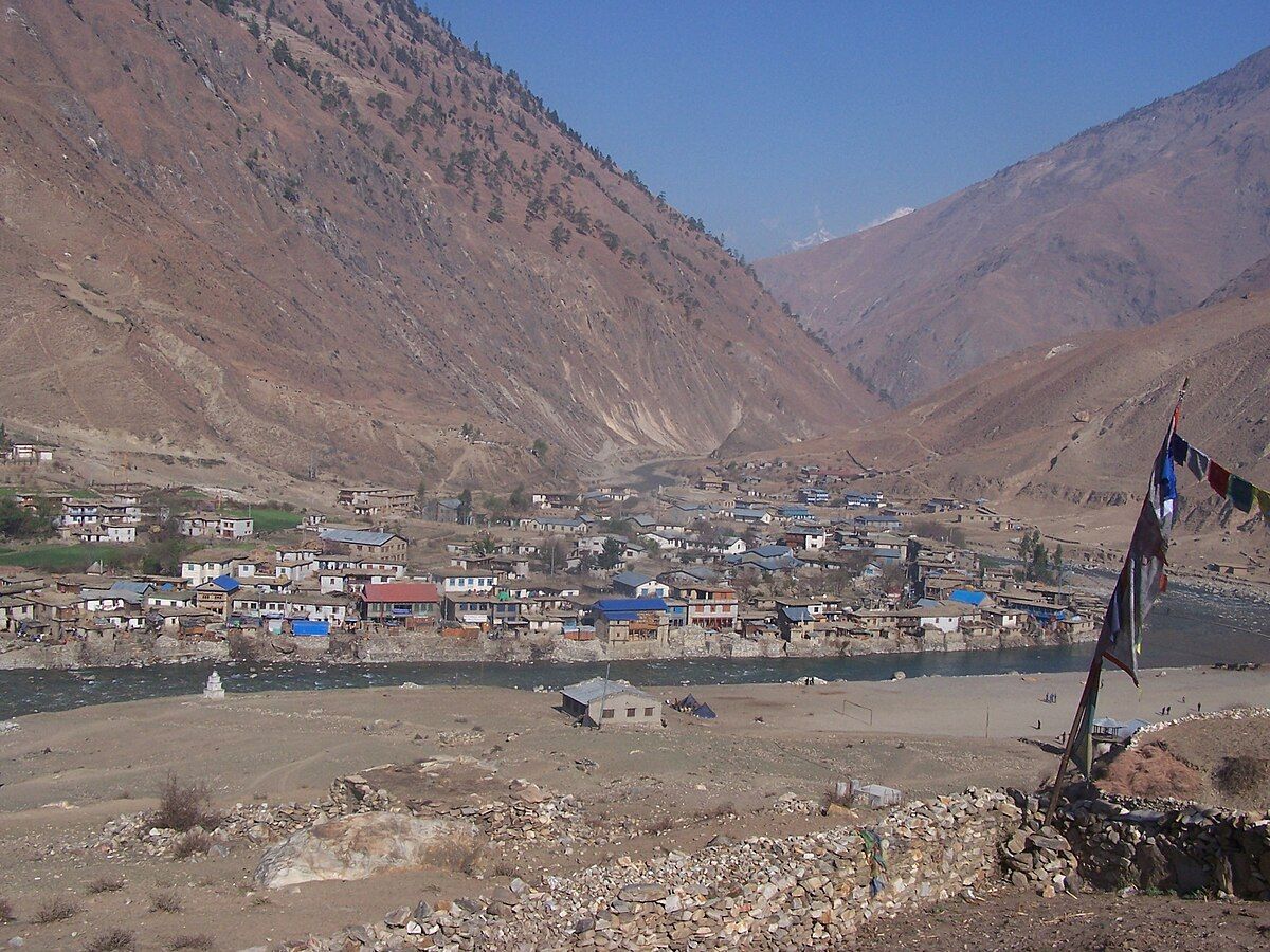
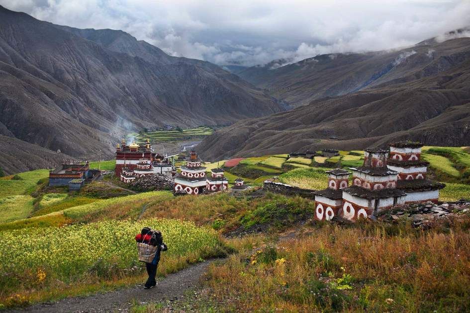
View of Ringmo/Phoksundo Lake
Day 7
Rechi to Ringmo / Phoksundo Lake
Arrive at Phoksundo Lake and Ringmo village, enjoying stunning lake views.
- Route: Rechi → Ringmo/Phoksundo Lake
- Altitude: 3010m to 3640m
- Duration: 4-5 hours
- Distance: 5 km
Activities:
- 07:30 AM departure
- Trek to Ringmo village
- Explore Phoksundo Lake
Day 8
Rest and Explore Around Ringmo
Rest and acclimatization day at Phoksundo Lake, exploring the Bon monastery and local culture.
- Route: Ringmo → Ringmo
- Altitude: 3640m to 3640m
- Duration: 4-5 hours
- Distance: 8 km
Activities:
- Visit Tshowa Gompa monastery
- Lakeside exploration
- Cultural visits with locals
View of Ringmo
View of Lar Tsa
Day 9
Ringmo to Lar Tsa
Trek into Upper Dolpo, camping at Lar Tsa.
- Route: Ringmo → Lar Tsa
- Altitude: 3640m to 4120m
- Duration: 6-7 hours
- Distance: 12 km
Activities:
- 07:30 AM departure
- Trek along Phoksundo Khola
- Enter Upper Dolpo region
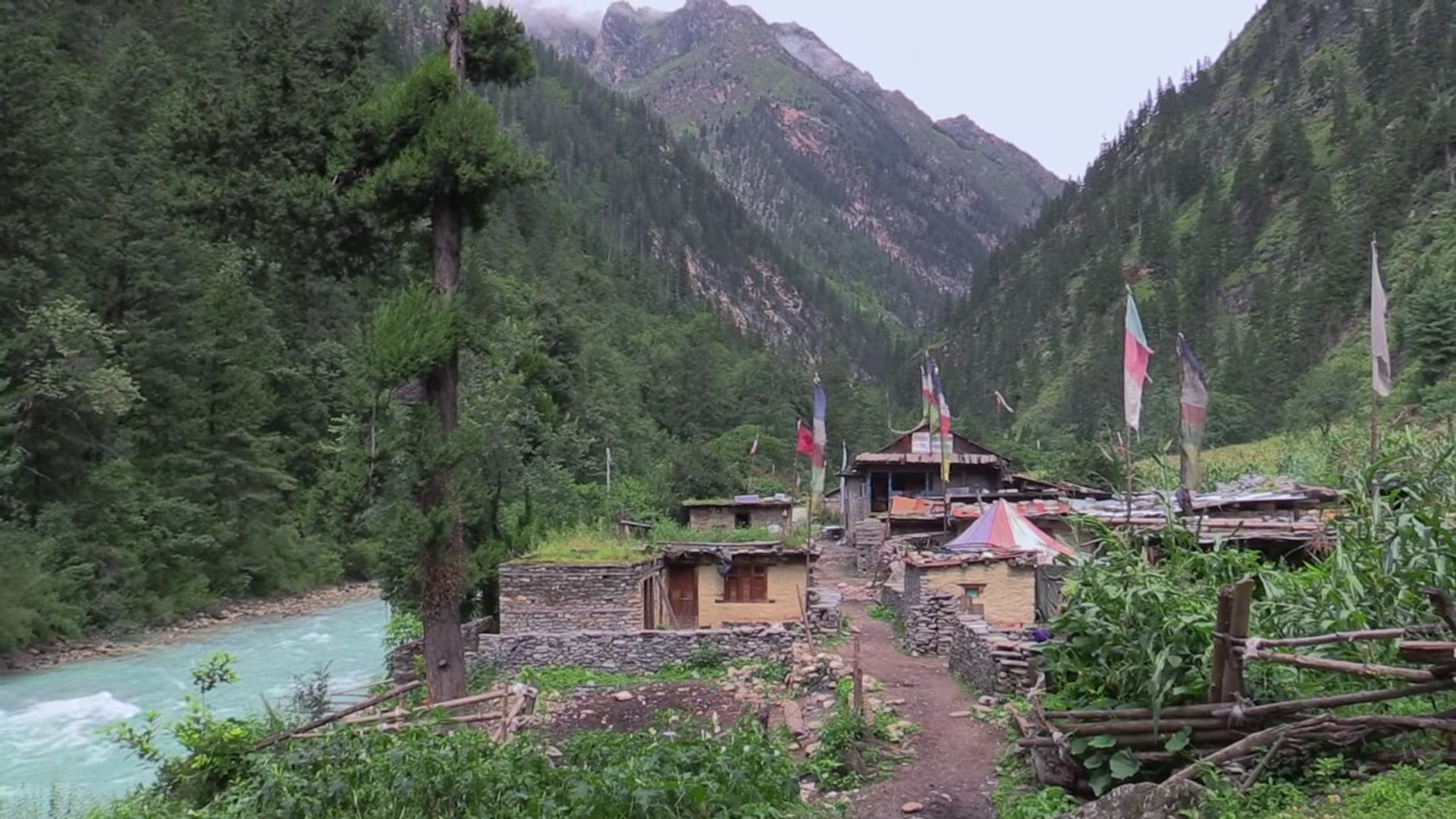
View of Lar Tsa
View of Mendok Din
Day 10
Lar Tsa to Mendok Din
Challenging ascent toward Kang La Pass, camping at Mendok Din.
- Route: Lar Tsa → Mendok Din
- Altitude: 4120m to 4610m
- Duration: 7-8 hours
- Distance: 10 km
Activities:
- 07:30 AM departure
- Ascend toward Kang La Pass
- Camp at Mendok Din
View of Mendok Din
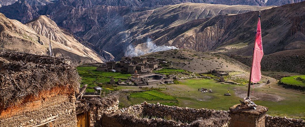
View of Shey Gompa
Day 11
Mendok Din to Shey Gompa
Cross the challenging Kang La Pass and descend to the ancient Shey Gompa.
- Route: Mendok Din → Shey Gompa
- Altitude: 4610m to 4390m
- Duration: 7-8 hours
- Distance: 15 km
Activities:
- 06:30 AM departure
- Cross Kang La Pass (5,360m)
- Descend to Shey Gompa
Day 12
Acclimatization at Shey Gompa
Rest and acclimatization day exploring Shey Gompa and its surroundings.
- Route: Shey Gompa → Shey Gompa
- Altitude: 4375m to 4375m
- Duration: 4-5 hours
- Distance: 5 km
Activities:
- Explore Shey Gompa monastery
- Visit nearby villages
- Acclimatization hikes
View of Shey Gompa
View of Namgung Gumba
Day 13
Shey Gompa to Namgung Gumba
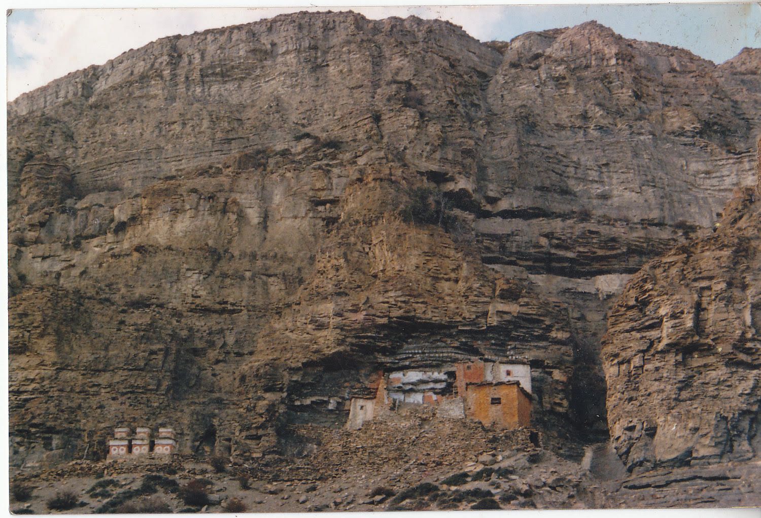
Trek through remote Upper Dolpo terrain to Namgung Gumba, known for its ancient monastery.
- Route: Shey Gompa → Namgung Gumba
- Altitude: 4375m to 5075m
- Duration: 6-7 hours
- Distance: 12 km
Activities:
- 07:30 AM departure
- Trek through barren landscapes
- Arrive at Namgung Gumba
View of Namgung Gumba
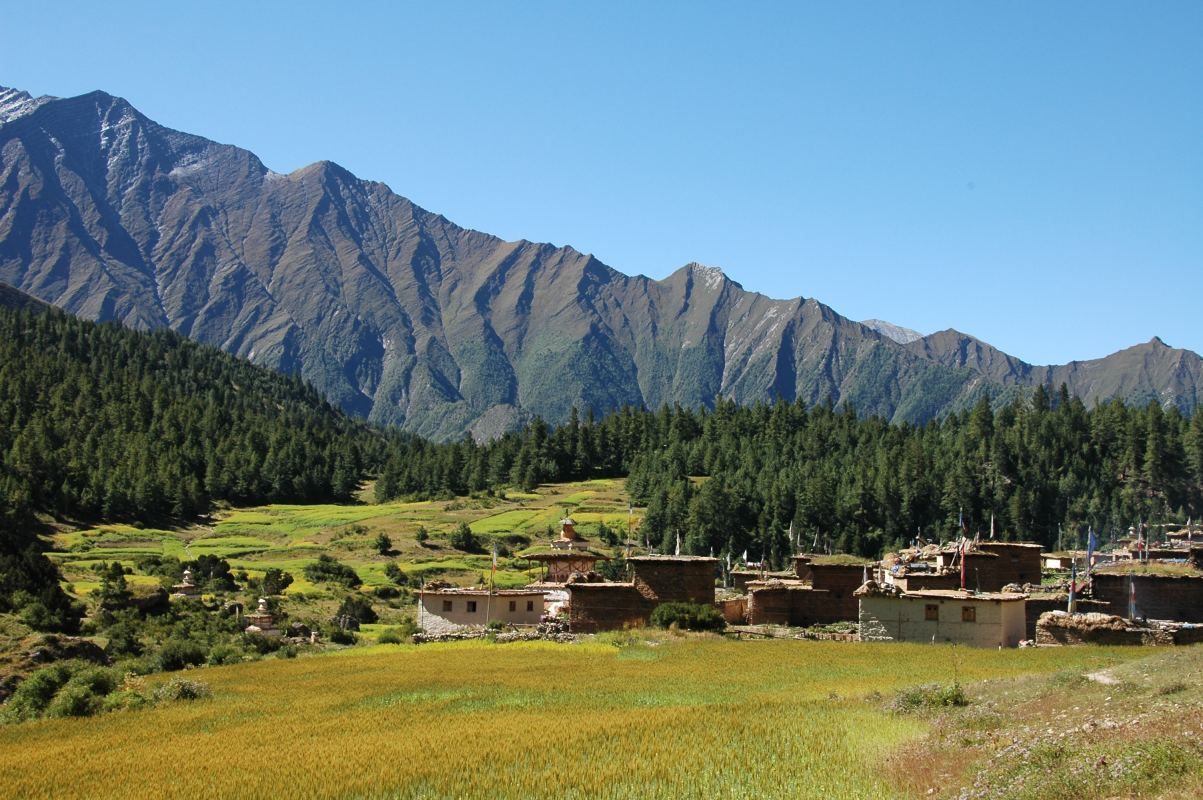
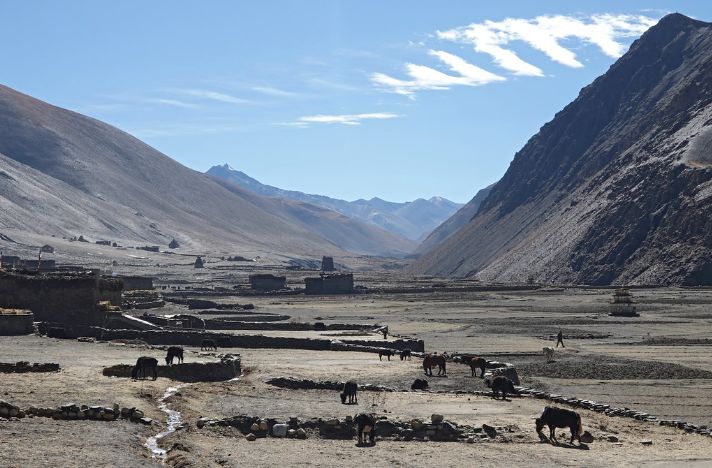
View of Saldang
Day 14
Namgung Gumba to Saldang
Descend to Saldang, one of the largest villages in Upper Dolpo, rich in Tibetan culture.
- Route: Namgung Gumba → Saldang
- Altitude: 5075m to 3620m
- Duration: 5-6 hours
- Distance: 10 km
Activities:
- 07:30 AM departure
- Descend to Saldang village
- Explore local culture
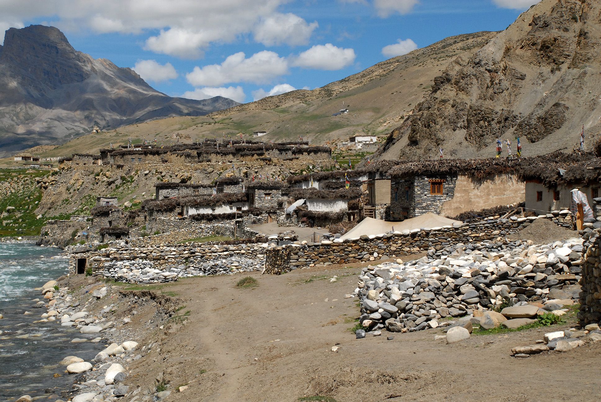
View of Saldang
View of Khoma
Day 15
Saldang to Khoma
Trek to Khoma, a remote village in Upper Dolpo with unique cultural heritage.
- Route: Saldang → Khoma
- Altitude: 3620m to 4100m
- Duration: 6-7 hours
- Distance: 12 km
Activities:
- 07:30 AM departure
- Trek to Khoma village
- Explore local culture
View of Khoma

View of Mendo
Day 16
Khoma to Mendo
Trek to Mendo, continuing through Upper Dolpo’s high-altitude landscapes.
- Route: Khoma → Mendo
- Altitude: 4100m to 4000m
- Duration: 6-7 hours
- Distance: 12 km
Activities:
- 07:30 AM departure
- Trek through remote trails
- Arrive at Mendo
View of Mendo
View of Tinje
Day 17
Mendo to Tinje
Trek to Tinje, a remote village in Upper Dolpo with traditional culture.
- Route: Mendo → Tinje
- Altitude: 4000m to 4110m
- Duration: 6-7 hours
- Distance: 12 km
Activities:
- 07:30 AM departure
- Trek through remote trails
- Arrive at Tinje village
View of Tinje
View of Chharka La
Day 18
Tinje to Chharka via Chharka La
Cross Chharka La Pass and descend to Chharka, a culturally rich village.
- Route: Tinje → Chharka La → Chharka
- Altitude: 4110m to 4110m
- Duration: 7-8 hours
- Distance: 15 km
Activities:
- 06:30 AM departure
- Cross Chharka La Pass (5,030m)
- Descend to Chharka village
Day 19
Rest Day in Chharka
Rest day in Chharka, exploring local monasteries and cultural heritage.
- Route: Chharka → Chharka
- Altitude: 4110m to 4110m
- Duration: 4-5 hours
- Distance: 5 km
Activities:
- Explore Chharka village
- Visit local monasteries
- Rest and acclimatization
View of Chharka
View of Norbulung
Day 20
Chharka to Norbulung
Trek to Norbulung, camping in high-altitude terrain.
- Route: Chharka → Norbulung
- Altitude: 4110m to 4750m
- Duration: 6-7 hours
- Distance: 12 km
Activities:
- 07:30 AM departure
- Trek through high-altitude terrain
- Camp at Norbulung
View of Norbulung
View of Sangda Pass Base
Day 21
Norbulung to Sangda Pass Base
Trek to the base of Sangda Pass, preparing for the high-altitude crossing.
- Route: Norbulung → Sangda Pass Base
- Altitude: 4750m to 4800m
- Duration: 6-7 hours
- Distance: 12 km
Activities:
- 07:30 AM departure
- Ascend toward Sangda Pass
- Camp at pass base
Day 22
Sangda Pass Base to Lower Sangda via Niwar/Sangda La
Cross Niwar/Sangda La Pass and descend to Lower Sangda village.
- Route: Sangda Pass Base → Niwar/Sangda La → Lower Sangda
- Altitude: 4800m to 3710m
- Duration: 7-8 hours
- Distance: 15 km
Activities:
- 06:30 AM departure
- Cross Niwar/Sangda La Pass (5,130-5,300m)
- Descend to Lower Sangda

Day 23
Rest Day in Lower Sangda
Rest day in Lower Sangda, recovering from the pass crossing and exploring the village.
- Route: Lower Sangda → Lower Sangda
- Altitude: 3710m to 3710m
- Duration: 4-5 hours
- Distance: 5 km
Activities:
- Explore Lower Sangda village
- Rest and recovery
- Short acclimatization hikes
View of Lower Sangda

View of Dhagarjun
Day 24
Lower Sangda to Dhagarjun
Continue descending to Dhagarjun, a village in the Mustang region.
- Route: Lower Sangda → Dhagarjun
- Altitude: 3710m to 3210m
- Duration: 6-7 hours
- Distance: 12 km
Activities:
- 07:30 AM departure
- Trek through remote trails
- Arrive at Dhagarjun
View of Dhagarjun
View of Jomsom
Day 25
Dhagarjun to Jomsom
Trek to Jomsom, a major hub in Mustang, preparing for return flights.
- Route: Dhagarjun → Jomsom
- Altitude: 3210m to 2720m
- Duration: 5-6 hours
- Distance: 12 km
Activities:
- 07:30 AM departure
- Trek to Jomsom
- Prepare for return flight
View of Jomsom
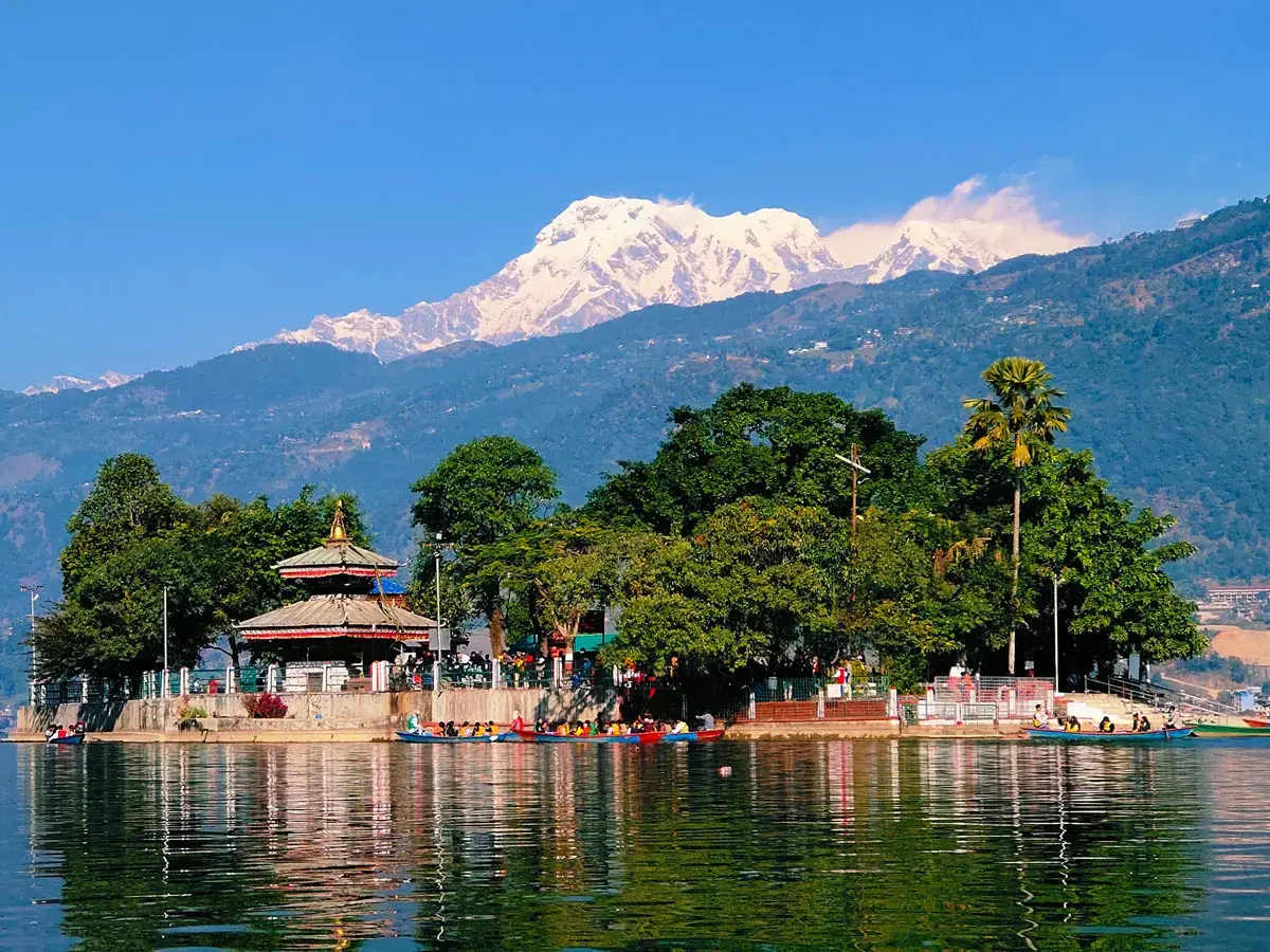
View of Pokhara
View of Kathmandu
Day 26
Jomsom to Pokhara to Kathmandu
Return flights from Jomsom to Pokhara and then to Kathmandu, concluding the trek.
- Route: Jomsom → Pokhara → Kathmandu
- Altitude: 2720m to 1350m
- Duration: 2 hours
- Distance: Flights
Activities:
- 06:30 AM flight to Pokhara (25 minutes)
- Connecting flight to Kathmandu (30 minutes)
Day 27
Free Day in Kathmandu
Free day in Kathmandu for sightseeing or relaxation.
- Route: Kathmandu → Kathmandu
- Altitude: 1350m to 1350m
- Duration: Full day
- Distance: N/A
Activities:
- Explore Kathmandu’s cultural sites
- Optional sightseeing (Pashupatinath, Boudhanath)
- Rest and recovery
View of Kathmandu
View of Tribhuvan International Airport
Day 28
Kathmandu Departure
Transfer to the airport for departure, concluding the Upper Dolpo trek.
- Route: Kathmandu → Tribhuvan International Airport
- Altitude: 1350m to 1350m
- Duration: 30 minutes
- Distance: 10 km
Activities:
- Transfer to airport
- Depart Kathmandu
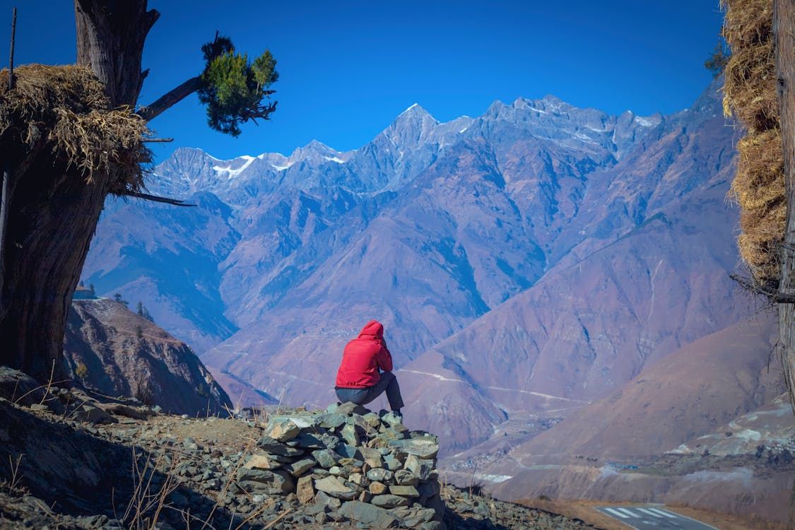
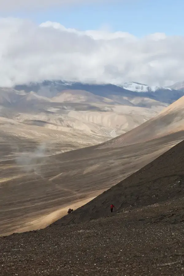
Altitude Considerations
- Maximum altitude: 5,360m (Kang La Pass)
- Risk Level: High
- Quick Ascent Concern: Multiple high passes increase altitude risks
- Challenge: Significant altitude gains with multiple passes
- Mitigation: Multiple rest days, hydrate well, monitor symptoms
- Rest Days: Days 7, 11, 14, 20 for acclimatization
- Ascent Rate: Average 300-500m per day
- Prevention:
- Hydrate with 4-5 liters water daily
- Avoid alcohol and sedatives
- Monitor for AMS symptoms
- Descend immediately if HAPE/HACE symptoms appear
- Symptoms:
- Headache, nausea, fatigue (mild AMS)
- Severe breathlessness, chest tightness (HAPE)
- Confusion, coordination loss (HACE)
Insurance & Preparation
- Travel insurance with helicopter evacuation
- Minimum USD 200,000 coverage
- Recommended Providers: Global Rescue, World Nomads
- Mandatory for high-altitude trekking
- Medications: Diamox for altitude (consult doctor), Ibuprofen for headaches, Anti-diarrheal medication, Antibiotics for infections
- First Aid Essentials: Blister treatment, Bandages, Water purification tablets, High-altitude emergency drugs
Specific Risks
- Extreme cold (Above 4,000m): Insulated layers, down jacket, warm sleeping bag
- UV radiation (Above 4,000m): Sunglasses, SPF 50+ sunscreen, UV hat
- Snow and ice (High passes): Crampons, ice axe, sturdy boots
- Remote location (5-7 days from medical facilities): Satellite phone, comprehensive first aid kit
Footwear
- Waterproof trekking boots (High ankle, Vibram sole) - Rocky and snowy trails
- Trekking socks (Wool/synthetic, 6 pairs) - Blister prevention and warmth
- Gaiters (Waterproof, snow-resistant) - Snow and debris protection
- Crampons (Compatible with boots) - Snowy high passes
Clothing
- Base layer:
- Merino wool underwear (4 sets)
- Base layer shirt and pants
- Insulation:
- Fleece jacket
- Down jacket
- Warm hiking pants
- Shell:
- Waterproof Gore-Tex jacket
- Waterproof pants
- Accessories:
- Insulated hat
- Insulated gloves
- Buff/neck gaiter
- Sunglasses
Safety & Navigation
- Water bottles (2 x 1L, insulated) - Hydration in cold
- Water purification tablets (Enough for 28 days) - Safe drinking water
- Headlamp (LED, extra batteries) - Night navigation
- Sunscreen (SPF 50+) - UV protection
- First aid kit -
- Trekking poles (Adjustable, durable) - Stability on high passes
- Ice axe (Lightweight) - Snowy pass safety
- Map (Upper Dolpo) - Trail navigation
- Compass (Lightweight) - Backup navigation
- GPS device (With extra batteries) - Remote navigation
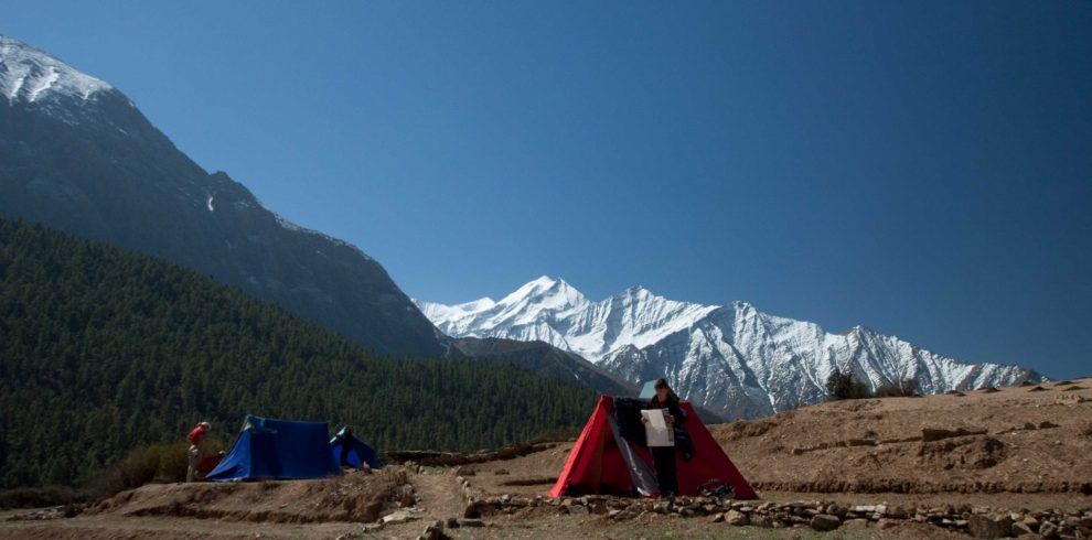
Sleeping Gear
- 4-season sleeping bag (Rated to -20°C) - Extreme cold at high altitude
- Sleeping pad (Insulated, high R-value) - Cold ground camping
- Tent (4-season, lightweight) - Remote camping
Backpacks & Storage
- Trekking backpack (50-70L) - Extended trek gear
- Waterproof bag covers (For packs) - Snow and rain protection
Optional Equipment
- Camera with extra batteries - Capture remote landscapes
- Solar charger - Limited charging options
- Satellite phone - Emergency communication
Rental Available in Kathmandu (Thamel)
Sleeping bags, Tents, Trekking poles, Crampons can be rented in Kathmandu (Thamel) for NPR 300-700 per item per day.
Currency: USD
- Flights (Kathmandu-Nepalgunj-Juphal round trip): 350 USD
- Permits (Shey Phoksundo + Upper Dolpo): 680 USD
- Guide and porter fees: 800 USD
- Accommodation and meals: 600 USD
- Camping equipment rental: 300 USD
- Miscellaneous (transfers, satellite phone): 200 USD
Total Estimated Cost: 2930 USD
Notes:
- Costs are per person, based on a group of 2-4 trekkers
- Excludes personal expenses and insurance
- Prices may vary based on season and operator
Best Time to Visit
Plan your adventure for Spring (March–May) to enjoy blooming rhododendrons and clear skies, or Autumn (September–November) for stable weather and stunning views. Winter (December–February) brings harsh, snowy conditions, making trekking challenging. Monsoon (June–August) has less rain due to the rain-shadow effect, but trails can still be difficult.